What this project is about.
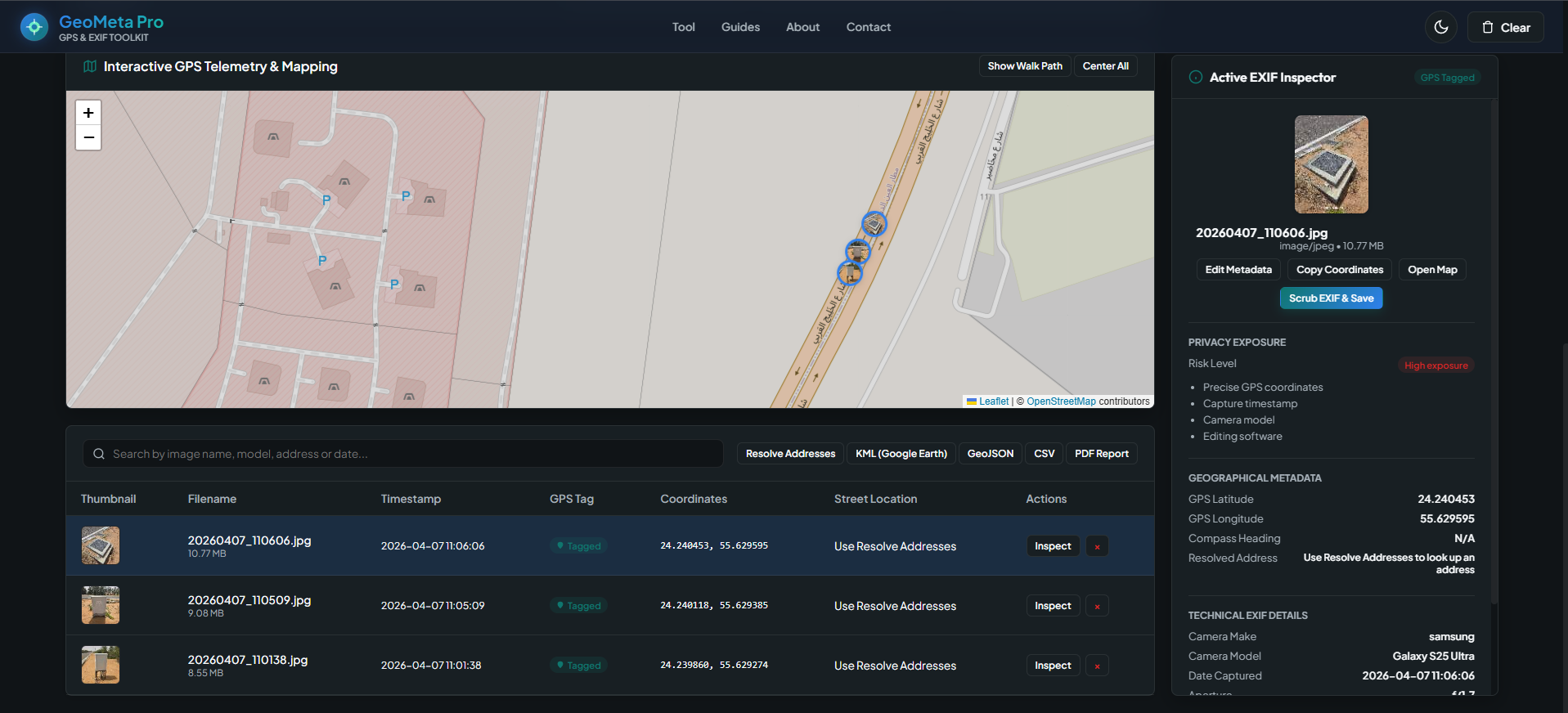
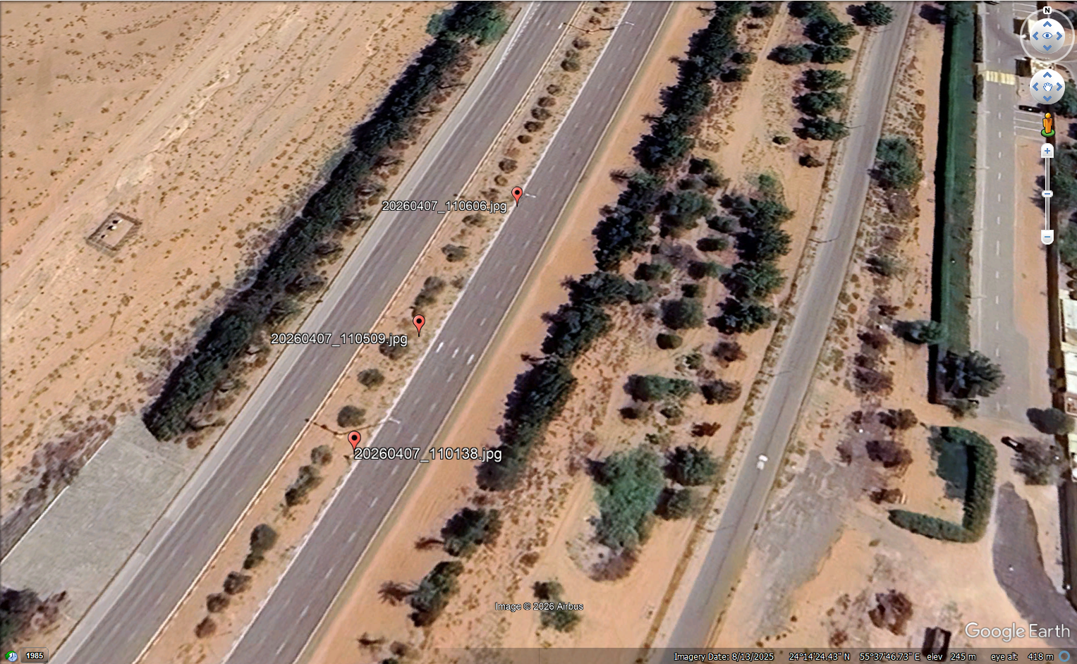
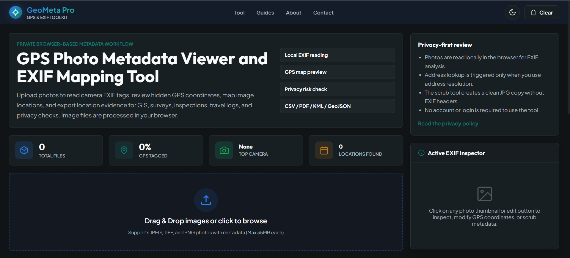
GeoMeta Pro is a browser-based GPS and EXIF inspection toolkit created to help survey teams, inspectors, GIS users, photographers and privacy-conscious users check hidden image metadata before sharing or submitting photos. The tool reads EXIF data locally in the browser, identifies GPS-tagged images, shows coordinates on an interactive map, builds a simple walk path, lets users inspect camera details, supports metadata editing and EXIF scrubbing, and exports photo evidence in CSV, PDF, KML and GeoJSON formats for reporting and mapping workflows.